Otonomo Technologies and Rekor Systems are expanding their existing relationship with a multi-year contract to help improve road and driver safety.
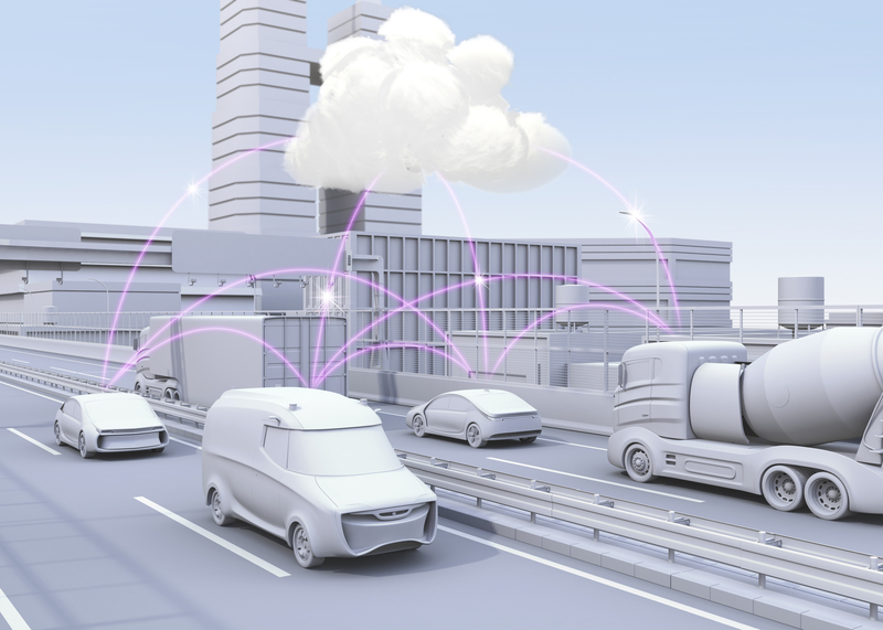
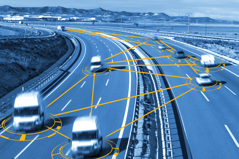
AI technology company Rekor, which provides data-driven insights to build safer and more efficient cities, is integrating connected vehicle data from Otonomo’s Smart Mobility Data Platform into its Roadway Monitoring and Response Platform.
The aim is to enhance the accuracy and granularity of the Rekor incident identification algorithm, making it possible to respond to traffic incidents faster, potentially saving lives.
With the Smart Mobility Data Platform, Rekor supports customers across DoTs, city traffic management centres and regional transportation centres in St. Louis, Missouri; Gothenburg, Sweden; and the broader Bay Area of San Francisco, California.
Incorporating the connected vehicle data from Otonomo’s system into Rekor’s One Traffic Management solution “further expands the breadth and depth of our global roadway coverage and accuracy of real-time and predictive traffic analytics to enable customers to achieve safer roads and drivers”, said Rekor president David Desharnais.
“The breadth of insights available through the Smart Mobility Data Platform extends Rekor’s roadside and emergency response capabilities, including in rural areas that have fewer traffic sensors and cameras,” added Anders Truelsen, Otonomo’s chief revenue officer.
Otonomo says that its platform provides access to a range of proprietary and patented mobility data solutions that power customers’ products and services—from multi-layered connected vehicle data, standardised and blurred to remove identifiers to VIN-specific data compliant with data privacy regulations; and ready-to-use insights generated with proprietary machine learning and AI.
Customers have used this connected vehicle data to:
• gain improved view of traffic behaviours globally to improve real-time traffic flows via an accurate picture of events across road systems;
• allow smart cities to manage emissions, optimise parking and public transport and create data-driven simulations for short- and long-term planning;
• and manage road safety through near-real-time and historical data on accidents, hard braking or speed, in addition to weather events and road friction, to identify hazardous sections of road and plan for necessary improvements.


