![Paris TomTom Orbis Maps open map data proprietary data [©TomTom]](/sites/its/files/2024-06/Paris_TomTom%20-%20Orbis_Overlays%20-%20WEB.jpg "We’ll always have Paris: TomTom Orbis Maps combine open map data and the company’s proprietary data (©TomTom)")
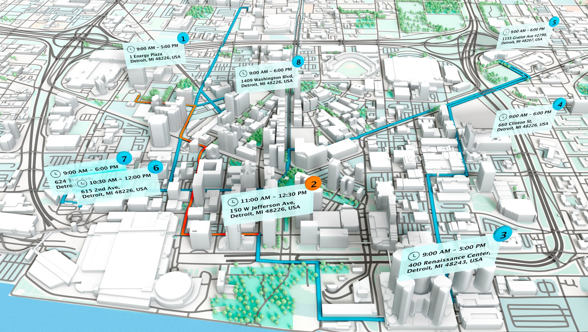
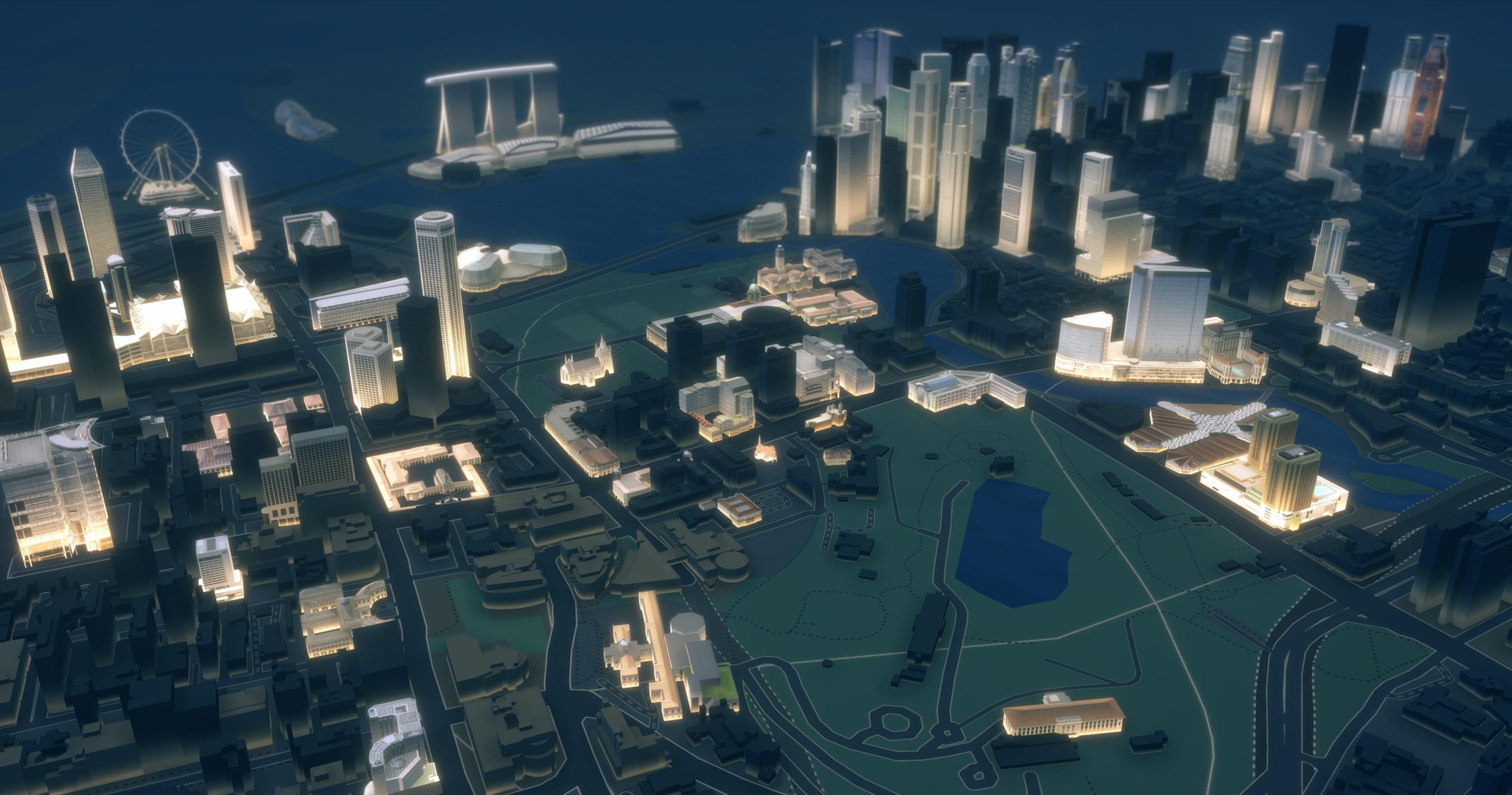
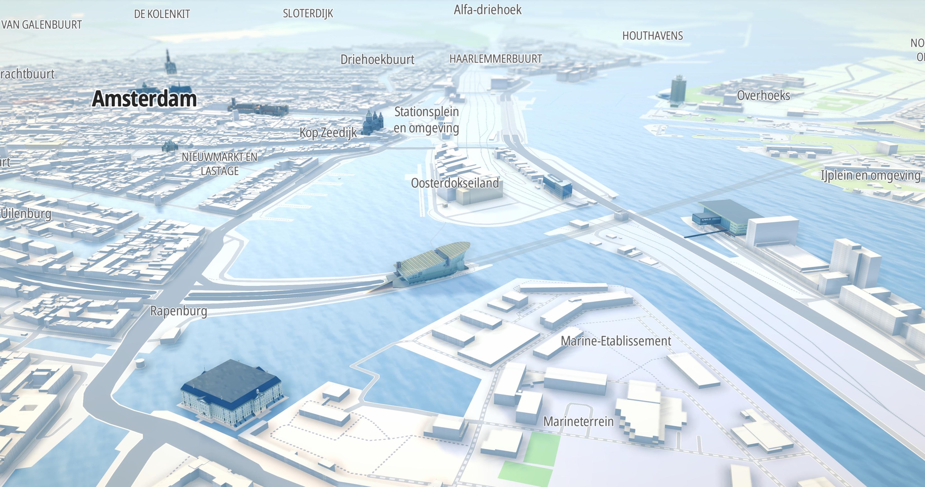
We’re used to looking at three-dimensional maps on our smartphones, created by superimposing satellite images, aerial photography and GIS data onto a 3D globe, allowing users to swoop down to see cities, landscapes and, of course, their own homes, from numerous angles.
However, map developers and creators face significant challenges. The task of collecting and updating high-quality data from various sources is both costly and highly complex. It’s not uncommon for different datasets to use different conventions and terms even when describing the same entities, which in itself can create integration issues.
Open for business
Open map data is seen as being the answer to these taxing questions but, says mapping expert Marc Prioleau, formerly Meta’s head of business development – mapping & location, open map data can have errors and might not have a useful structure for commercial applications.
The purpose of the Overture Maps Foundation, founded in 2022 by Amazon Web Services, Meta, Microsoft and TomTom, is to address these challenges. Overture is dedicated to the development of reliable, easy-to-use, and interoperable open map data that will power current and next-generation map products. The data is built through a collaborative process that combines technology, data, and support from a wide range of companies.
“We needed to build a bigger community to bring together technology, engineering skills, and data,” says Prioleau, Overture’s CEO. “Our aim at Overture is straightforward: Elevate the realm of open map data to power current and next-generation map products. With the collective insights of our expanding community, it’s not just about amassing datasets. Instead, it’s a conscious effort to lay the groundwork for a future where map data remains current and interoperable, serving a wide range of applications. Overture is about harnessing available high-quality data sources and building bridges of cooperation. It’s a journey, and every step, every release, every partnership counts.”
Mapping IQ
“We envision a world where the best maps are not proprietary assets but shared, open resources, built and enriched by the very people who rely on them,” Prioleau states.
AWS, Meta, Microsoft and TomTom would traditionally be considered fierce competitors, but in the quest to provide interoperable open map data they are working collaboratively.

“The goal of the Overture Maps Foundation is to create open interoperable maps for the world” Willem Strijbosch, TomTom
“What’s interesting is that there are some technology areas that have become so complex that if they don't agree on some basic standards and some basic structures, it doesn't make sense - everyone's going to have to spend a lot of time and effort doing things that really doesn't have much value, but cost a lot of money and take a lot of time. The other issue I hear in automotive, especially in the autonomous vehicle side, is that to some extent you need the buy-in of the cities,” Prioleau says. “The cities don't particularly want a situation where if you're in a car, you're safer than you would be if you were in another brand’s car because somebody made better maps. I think there's also a degree of public good around requiring everyone to be at a certain level.”
All about the base
For Overture steering partner TomTom’s Willem Strijbosch the value is in the layers of detail that the team effort engenders.
“The goal of the Overture Maps Foundation is to create open interoperable maps for the world. I need to qualify that by insisting that it's about the base map. The term ‘base map’ has a lot of different meanings for different people, though,” he adds thoughtfully.
“We're currently focusing on four layers of the map: the road network, or transportation layer; your basic PII [personal identification and identifiability] information, meaning name, latitude, longitude, the address, the category, and some contact details; administrative areas, such as country borders, provinces, states; and the fourth layer is building footprints. Those four together provide a framework where you can attach almost anything else. We want that information to be open with something we call GERS [global entity references system], which is a framework for structuring, encoding and matching map data to a shared universal reference.”
Overture is building this common ID system to solve the difficult problem of integrating geospatial datasets in order to make it easier to share and sell map data, and to enable cooperation among companies, non-profits, government agencies and other organizations.
“With GERS it becomes super easy to have data on top and not having to re-conflate it to the map every single time when a new map comes out. Reality doesn't change, so those IDs shouldn't change either.”
Mapping companies have been looking at OpenStreetMap for a long time. “In 2017-18 we were all looking at and investing in OpenStreetMap,” he says. “We all did our own things with it but largely wrapped up into strategies that weren't entirely clear to the outside world. Essentially OpenStreetMap is a is a map for map makers by map makers. It's a fantastic project but the target audience is map makers, and all four of us (AWS, Meta, Microsoft and TomTom) realised that pieces were missing. So we first tried to improve OpenStreetMap by editing it directly but then we realise this was only going to get us part of the way, but to really deliver on our vision, we need to do something like what Overture Maps became because we want enterprise grade maps that are open and an enterprise grade base map that is open.”
With Meta having already started their own improved version of open map data (called Daylight), the mapping industry was now taking notice of a need that was in the process of being met.
“It was barely known about,” adds Strijbosch, “but that's how we all came together. We agreed that we need to do the open base map the right way, make it enterprise grade, give it stable identifiers and make it normalised and standardised. Nobody wants big, automated processes running, but for an enterprise grade map, you do want and need that big automatic processes applying AI, applying big global data sources.”
Future of mapping
Having a lot of map experts in the same room together generates ideas. But Strijbosch cautions: “Maybe one thing that is good to add - because it usually takes a few times before people get this - is that we use parts of OpenStreetMap in Overture, specifically the road network. TomTom has a product called Orbis, where we take Overture but it's like a three-stage rocket. In Orbis we take Overture as a base layer and we add a lot of data on top. Overture is not a complete map so we add all that stuff on top to make it a map that is suitable for our customers.”
Although Marc Prioleau was appointed Overture’s CEO a year ago, he had spent the previous 18 months working on and with the Foundation in his previous role with Meta.
The four big partners were in place, and within a few short months the numbers had swelled to 28, but despite that success Overture’s organisational plans were not about to change.
Prioleau explains: “We didn't want to come in and say, ‘Hey everyone, we thought this all out, we know the plan, we have the idea. Here's the roadmap’. We really wanted people to be able to join and have their own impact on it. I think being in mapping for a lot of years builds a little bit of humility, because it's a really hard task. And you're never done. The map his never done, anyone in mapping would know that. The ethos of an open project, as we are, is that the Open Data is a collaboration and it evolves over time. And so there's not the moment where you have the trumpets blaring - everything becomes a step on the way,” he elaborates. “This one of the things that we've tried to maintain in terms of our public posture – everything is a step on the way and there are some big steps.”

“We envision a world where the best maps are not proprietary assets but shared, open resources, built and enriched by the very people who rely on them” Marc Prioleau, Overture Map Foundation
From A to B…
Talking of steps, April saw the release of Overture’s first beta version, after 12 months of alpha releases.
“That was honestly more about us practicing how to build data than anything else. We started releasing monthly last summer, and we've been releasing monthly as alpha which is basically us saying ‘here's the data, you can look at it, you're welcome to try it. It's open data, but we don't guarantee it's not changing’. In fact, it probably is changing and evolving. Our model is to build really good high quality open base layers, build a method of attachment, and then let the ecosystem evolve around data that's attached to it. If you're a data provider you can pull data from a lot of different places, but when it all works together, it works in a more interoperable way. That's how our vision of how the markets can evolve.”
No discussion about maps is complete in 2024 without mentioning autonomous vehicles. For instance, will AV maps be an incredible, all-knowing, high-accuracy product – or does the car figure it out by itself?
“The answer is probably somewhere in the middle,” says Prioleau. “You need to know a certain amount of things about what the roads, what the speed limits are, as that way you just remove some of the computational load, and then the vehicles that moves through the space will have to realise things that have changed. That could be other cars, it could be pedestrians, it could be something has changed on the map. The more you can tell the car what to expect, the less the computational load on the car.”
Let’s work together
The advent of the Overture Maps Foundation doesn’t mean that it’s the end of the road for other mapmakers. In fact it’s quite the opposite, according to Prioleau.
“The best maps end up being the maps that are used the most. If you're an individual company, you have to ask: ‘Do we have enough critical mass that we can make a really good map? Or are we better off partnering with people who we consider rivals, to aggregate and get a better map?’ The level of detail that is now in modern navigation apps is much higher than ever. So if you think about that, you still have the problem of knowing the roads and the architecture and the connectivity and the classification. But the amount of data that's attached to that has just exploded. If you think about AVs it explodes even more with even higher accuracy. The really interesting thing in any of these automotive applications is data that gets piled on top of that, and that is growing without bounds. So in that model, it also makes sense to collaborate on the base and make that open.”
Prioleau is almost evangelical in his belief that collaboration is the best way forward in the ever-evolving universe of digital mapping, and encourages those intent on ploughing their own furrow to have a look at what the Overture Maps Foundation is offering.
“I think one of the things we're saying is there is plenty of room for companies to add, collaborate, or to add their own proprietary things to make things different and to add things, but there are also areas where things need to interoperate,” he says. “Even the navigation experience is not you as an individual, it's you as an individual on a roadway shared by thousands of other individuals, which the government is sometimes changing and closing. That it's a very dynamic, interactive thing and that interoperability is a growing part of mapping.”


")
")
")
")
")
")
")