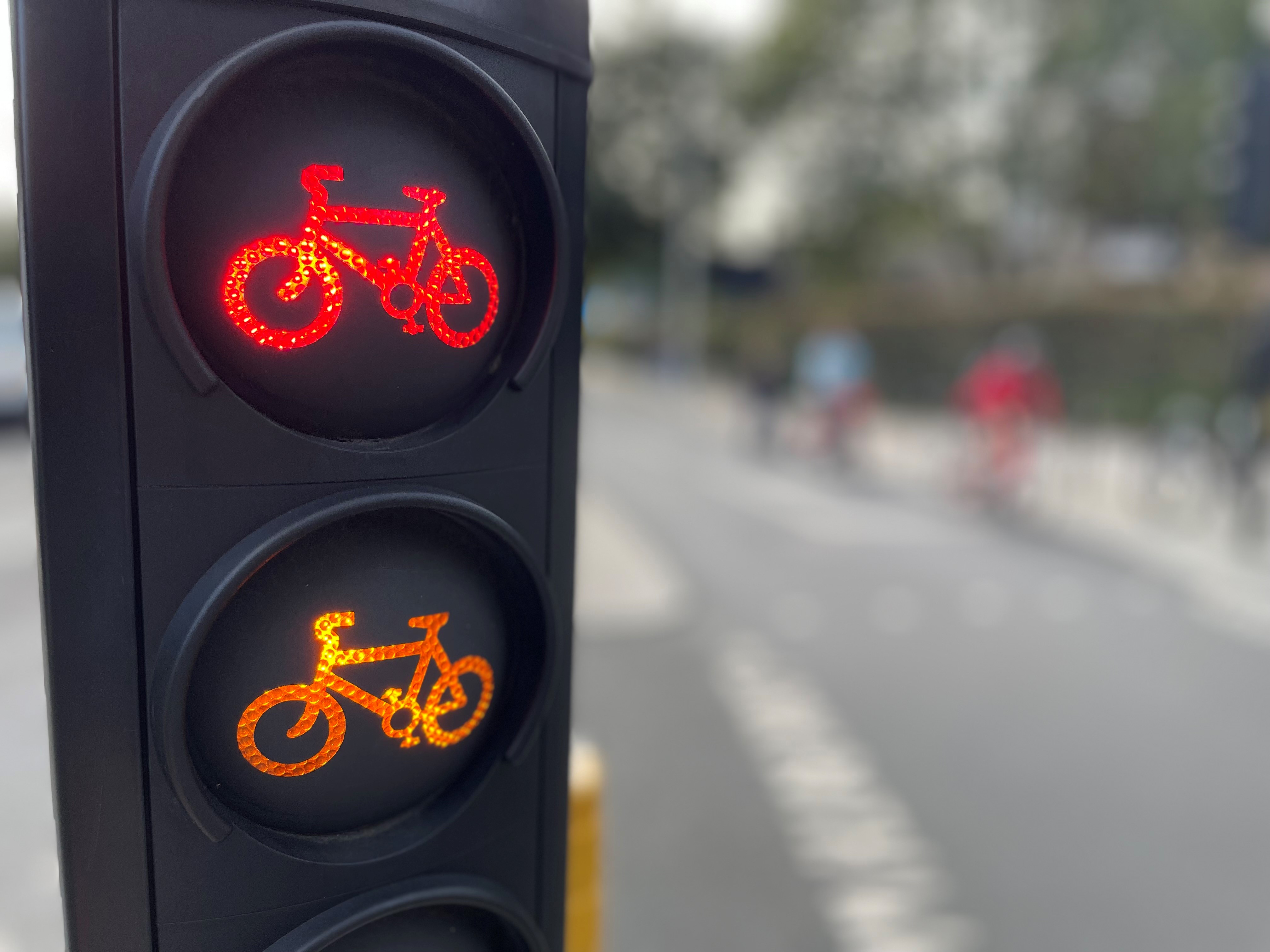
Transport for London (TfL) has teamed up with Google Maps to give cyclists in the UK capital more information on safe routes.
Google has updated its algorithms to prioritise cycling on safer, less busy roads and make them easier to discover within Google Maps, and says most users in London will have access by the end of 2023.
The company uses information from TfL to do this, adding hundreds of kilometres of new cycle lane data to its products and informing cyclists of traffic conditions and nearby cycling infrastructure.
London’s walking and cycling commissioner, Will Norman, says: “With existing digital journey planning data, cyclists haven’t always been able to see the best route available to them. These updated algorithms will help Londoners choose safer cycling routes."
TfL says 24km of new or upgraded cycle routes have been delivered since April 2022 in London, and there are plans to open at least another 40km by March 2024. The organisation adds that it has reduced danger at 44 junctions across London as part of its Safer Junctions programme, with work on at a further two locations set to start early in 2024.
Google worked with TfL’s Open Innovation team to improve cycle routing in Google Maps, with TfL providing pre-launch feedback on product enhancements and continuing to comment as it is rolled out.
Google Maps is also introducing Immersive View for cycle routes on Google Maps this year - in 'select cities around the world' including London - which lets users preview routes in advance, including all cycle lanes and junctions along the journey.


