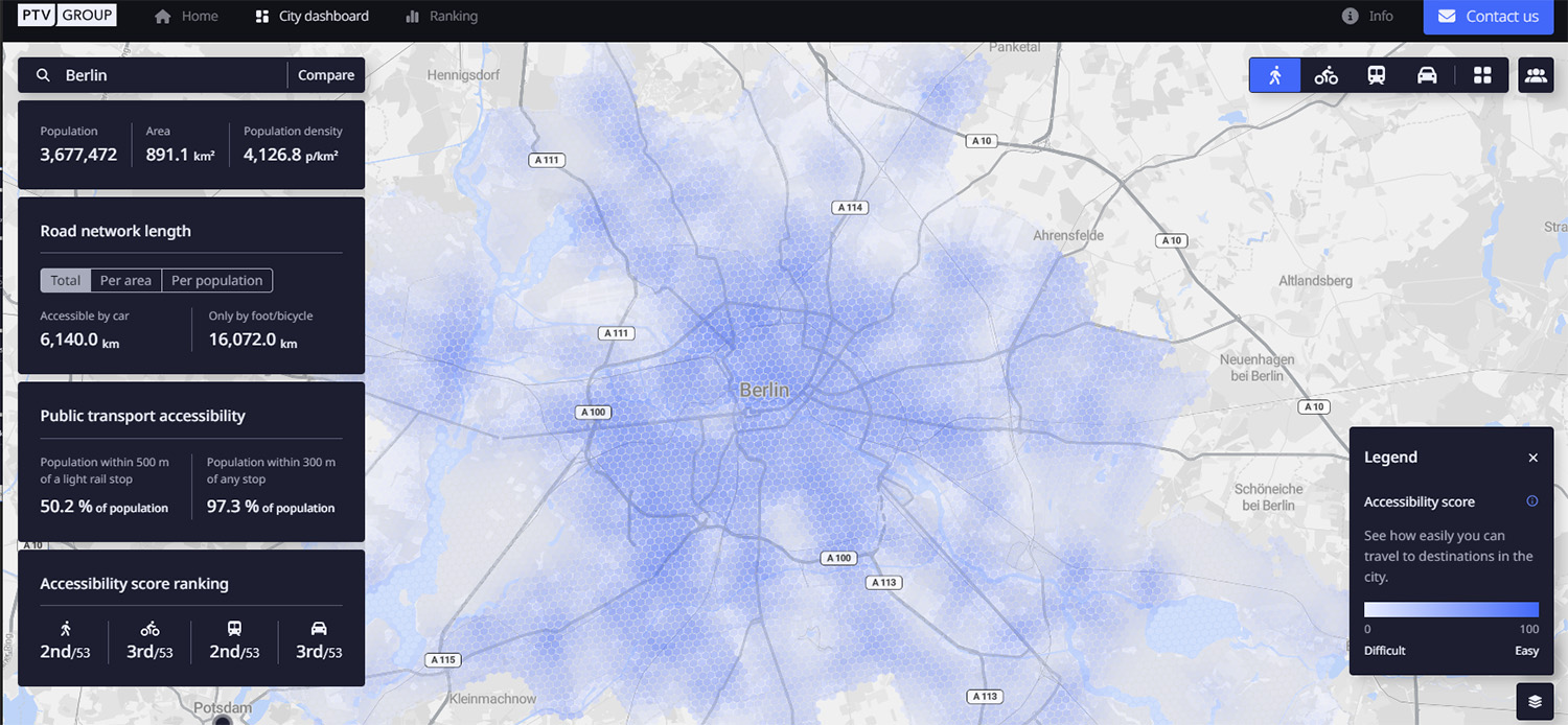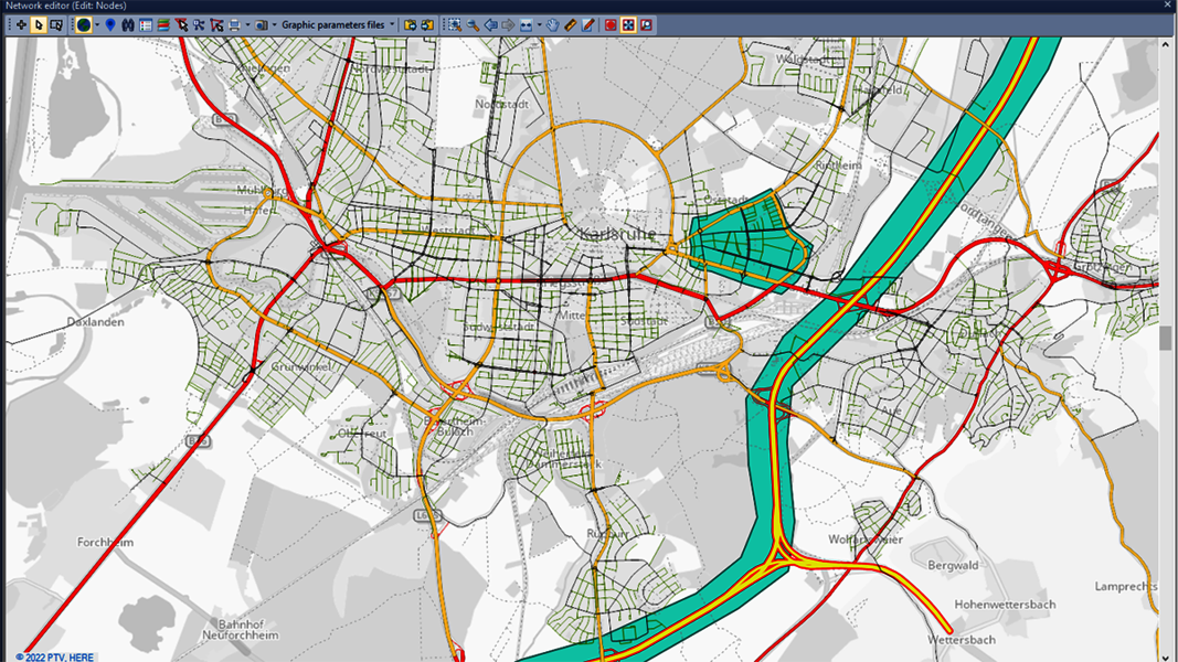
Different kind of questions and scenarios can be evaluated using City in Motion, PTV says, with relevant mobility parameters visualised on digital maps.
For instance, heat maps can show traffic volume across an entire route network, while an illustration of trip numbers highlights shared mobility options, with parking availability and e-scooter locations.
It also shows how travel demand fluctuates at different times of day or in different areas.
PTV says that policymakers can easily model the effect of interventions such as clear-air zones, parking restritions or street closures, thus allowing them to better plan.
The solution uses artificial intelligence and historical data to forecast transport demand.
“Data-driven analysis and visualisation provide the transparency to identify mobility problems and develop appropriate measures,” says PTV CEO Christian Haas.
“This is a strong tool that will support city initiatives on their way to a smart and sustainable mobility of the future.”


