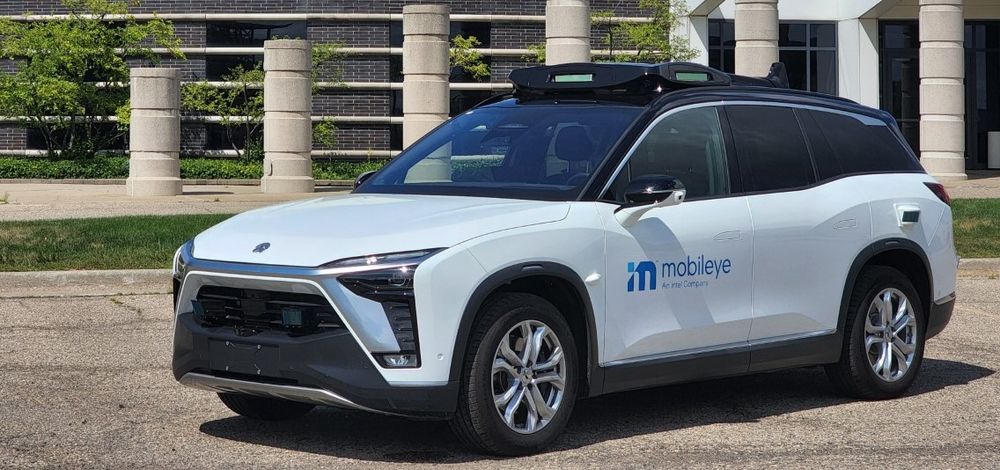
The company, part of
The solution - which sees the road ahead through a camera lens - is expected to offer municipalities and utilities data to plan for smart cities and aid the development of autonomous vehicles (AVs).
According to Mobileye, it will also assist the creation of high-definition maps by identifying lamposts, manholes, traffic congestion and potholes. The onboard camera collects data for AV mapping to help cities and companies maintain existing infrastructure and utilities, the company adds.
Lior Sethon, vice president of intelligent mobility solutions division at Mobileye, says
“At the same time, this connectivity will enable us to push over-the-air software updates to the cars which allow us to add new features and improve its existing functionality,” Sethon adds.
Countries and cities are already set to adopt Mobileye 8 Connect. Spain’s Directorate General of Transport plans to use the technology to improve road safety and prepare for AVs while Dusseldorf in Germany has used the solution to evaluate its existing infrastructure and suitability for connected and AVs.
Mobileye utilises Orange’s IoT connectivity
Mobileye has selected telecoms giant Orange to provide Internet of Things (IoT) connectivity for a solution which it claims will make roads safer.
The company, part of Intel, says the Mobileye 8 Connect provides drivers with collision avoidance technology based on their behaviour, environmental data and real-time alert data such as recognising pedestrians in low light.
The solution - which sees the road ahead through a camera lens - is expected to offer municipalities and utilities data to plan for smart


