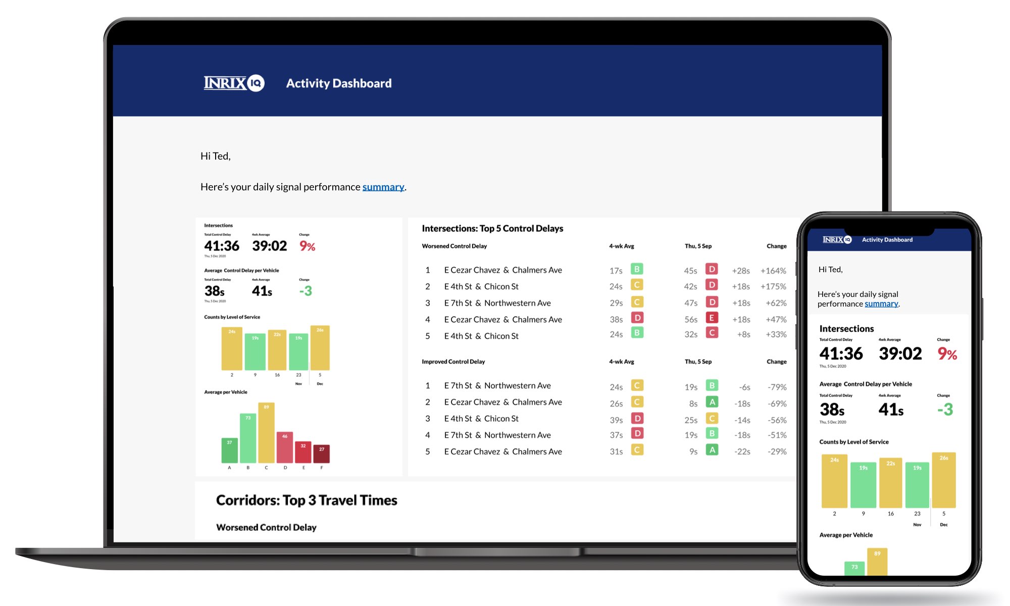
The city can also identify and compare locations that are operating sub-optimally to help prioritise road improvement efforts. In addition, Roadway Analytics allows city planners to perform before and after studies to quantify and communicate the impact of road projects; monitor and identify performance trends on roadways; produce and report Key Performance Indicators on travel times and congestion reduction; and monitor, compare and adjust construction zones to minimise the impact on traffic flow.
Launched in 2016, Roadway Analytics provides technical analyses, charts, tables and other visualisations to convey important information and recommendations to drivers, decision makers and the general public. Covering more than five million miles of road in 45 countries, it uses the world's largest traffic data network that is trusted by leading automakers and transportation agencies globally.
Calgary selects Inrix roadway analytics for real-time road performance analysis
The City of Calgary, Canada, has selected Inrix to supply its Roadway Analytics to help the city manage its road network with access to on-demand data to analyse, visualise and understand performance without the need for additional technology investments. The city can also identify and compare locations that are operating sub-optimally to help prioritise road improvement efforts. In addition, Roadway Analytics allows city planners to perform before and after studies to quantify and communicate the impact o
The City of Calgary, Canada, has selected 163 Inrix to supply its Roadway Analytics to help the city manage its road network with access to on-demand data to analyse, visualise and understand performance without the need for additional technology investments.


