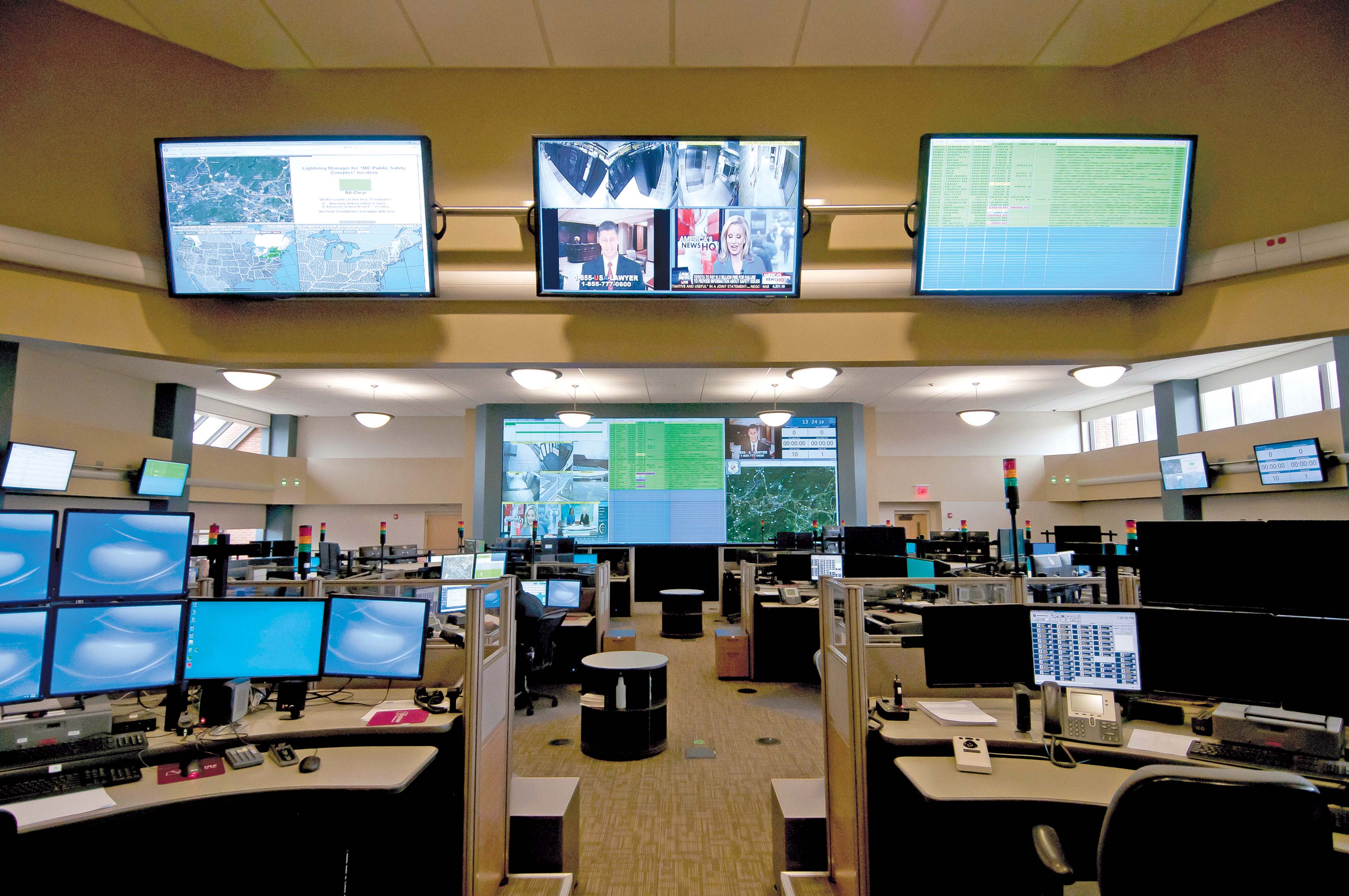
Activu Corporation, a leading provider of IP-based visualisation and collaboration solutions for mission-critical command and control centre environments, has announced that its solution has been selected by the Florida Department of Transportation (FDoT) for integrated traffic management operations across multiple fixed and mobile locations in District Two.
Encompassing 12,000 square miles in north-east Florida with major cities such as Gainesville and Jacksonville, a combined population of 1.9 million residents and roadways with over 8,200 lane-miles, District Two has a main traffic management centre (TMC) at its urban office in Jacksonville, Florida, a satellite operation co-located at the Florida Highway Patrol (FHP) dispatch office to coordinate incident response with FHP troopers and a third location at one of FDOT’s maintenance facilities. As a result, one of the District’s primary TMC requirements was to install a single visualisation and collaboration solution that would seamlessly interconnect all three centres so operators at each location could view and share the same information and visuals simultaneously and have the right collaboration tools to exchange ideas and make effective decisions.


