Transport for London (TfL) has partnered with media and advertising company Clear Channel UK to trial a real-time mapping tool at a Regent Street, London, bus stop.
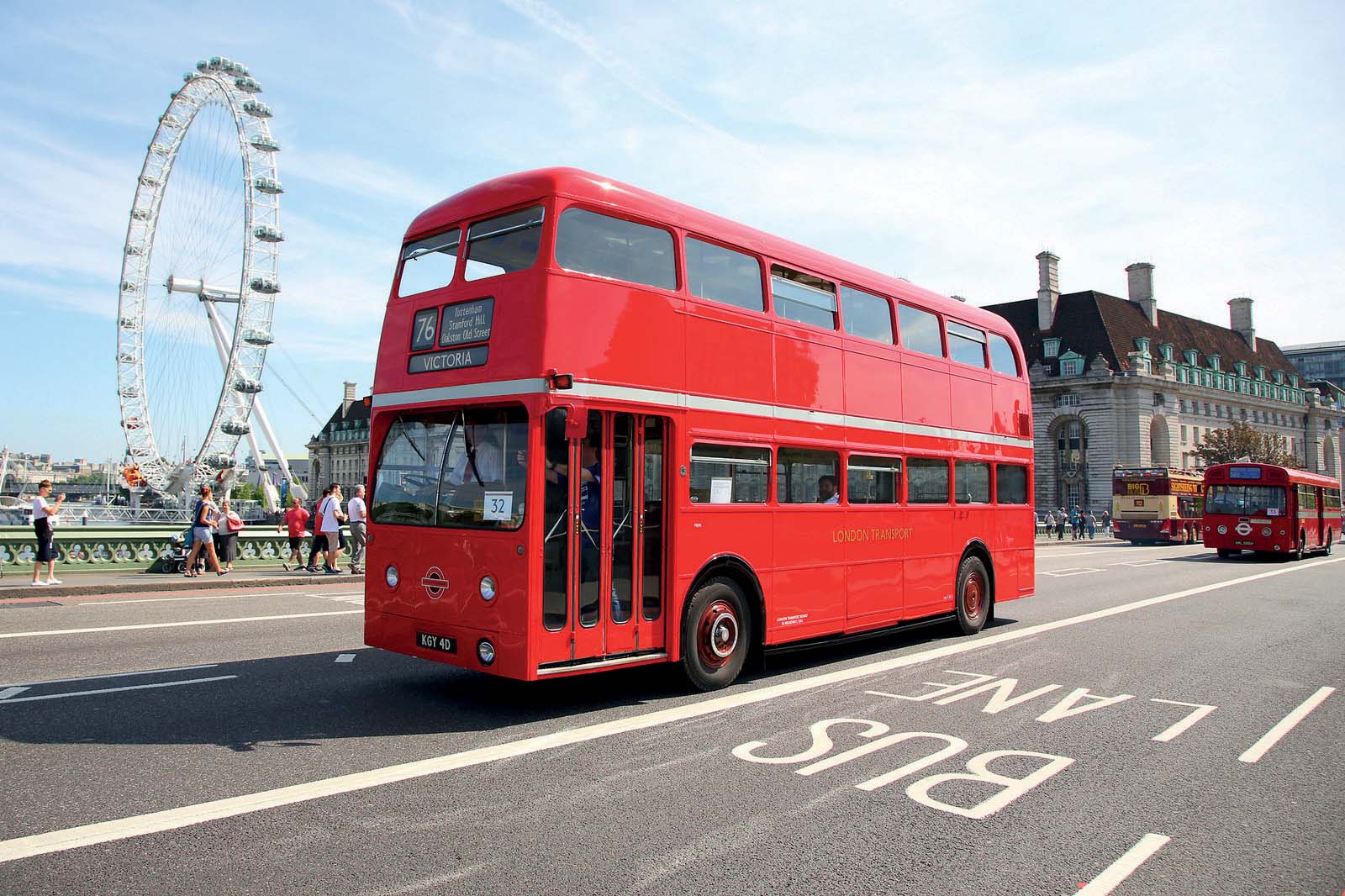
The new mapping tool, said to be the first of its kind to operate in a UK bus shelter, was developed and funded by Clear Channel to coincide with the Year of the Bus - a celebration of both the heritage of London buses and a look ahead to their future.
The new mapping tool, said to be the first of its kind to operate in a UK bus shelter, was developed and funded by Clear Channel to coincide with the Year of the Bus - a celebration of both the heritage of London buses and a look ahead to their future.
Positioned on one of London’s busiest shopping streets at Piccadilly Circus’s bus stop ‘G’, the state-of-the-art digital screen incorporates TfL’s data feed of live departure information to allow passengers to track their bus in real time. Alongside live bus arrival information, the interactive panel offers wider transport network updates from the London Underground and real-time availability of nearby
The panel also offers local area information including maps and walking routes to tourist attractions, theatres and shops. Over the next two months, customer interaction with the panel will be monitored, by Clear Channel UK, and analysed to enhance the service.


