Geotab, based outside Toronto, Canada, launched its Geotab ITS division to leverage its data for fleet customers and to provide transport insights to government agencies and commercial clients.
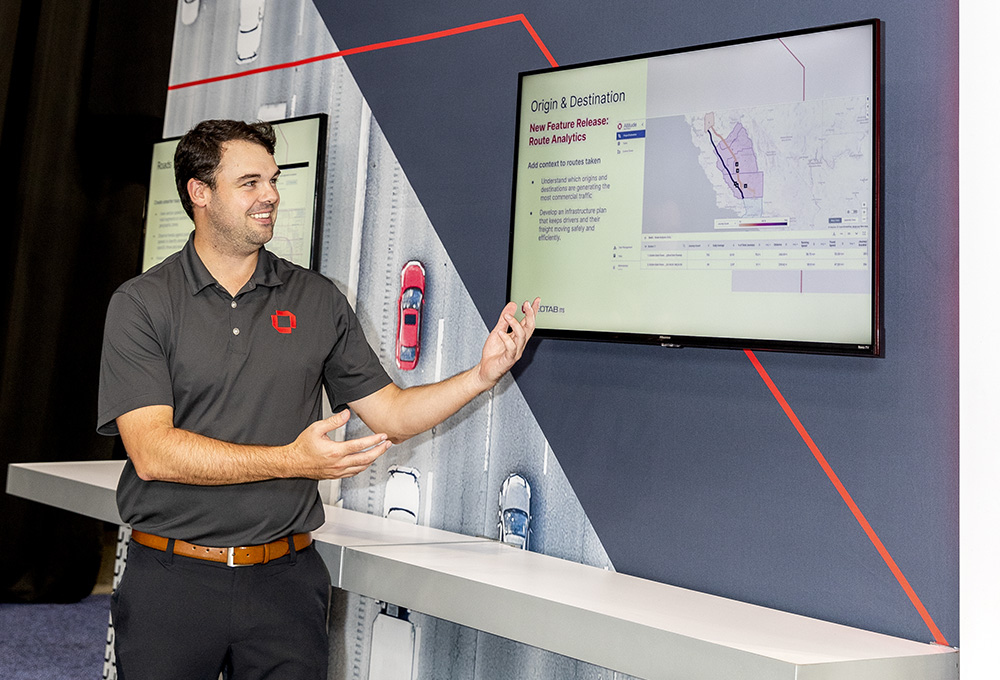
For organisations running an Origin and Destination (O&D) analysis, for example, the company’s RA software will showcase the most popular routes between two points. SA will show whether they stop en route – perhaps for food or toilet breaks – or drive straight to their destinations.
UVCC involves Geotab’s teams using the raw data it collects and using machine-learned algorithms to calculate whether vehicles are involved in long-haul journeys or short-haul trips for ‘last mile’ deliveries.
This data is provided in anonymous format – although results can be broken down into heavy, medium or light cargo vehicle classes, individual vehicles are not identified – to organisations such as city authorities, state DOTs or consultancies that can use the information for freight planning, said Jamie Wilson of the company’s business development team.
Booth 431


