In today’s bustling cities, ensuring the smooth flow of traffic is crucial for maintaining efficient business operations and a high quality of life for residents. To achieve this, road authorities and cities are increasingly turning to data to optimise traffic management. By combining static and dynamic data, they can make data-driven decisions that keep traffic flowing in the right direction while making roads safer for all.
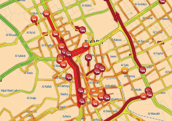
The data can be combined in various ways. One is by fusing static and real-time data to output datasets. Combining and calculating the observed speeds of individual vehicles or GPS probes enables the determination of a harmonic average speed across each road segment of the city. Fusing also includes conducting quality checks, like validating road closures based on GPS data. Road segments that are reported as closed but still contain large volumes of GPS data are adjusted or removed.
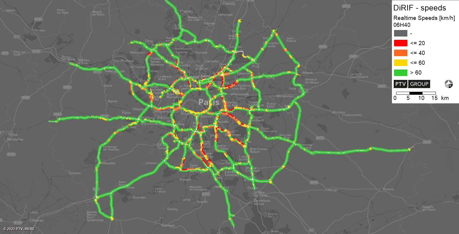
A recent real-life example that demonstrates this well is how road authorities effectively managed the complex traffic situation on the 1,300 km roads around Paris during this year’s Olympics. With millions of visitors expected, efficient traffic management was indispensable. The Direction des Routes d’Île-de-France (DiRIF), the highway authority for the Paris metropolitan area, used big data to better manage traffic. By utilising static data from DiRIF’s own roadside sensors and TomTom’s real-time Floating Car Data, our partner, PTV Group, created algorithms that generated highly accurate, real-time information about Paris’ traffic. This solution played a crucial role in informing road users about current traffic conditions, congestion, and road closures, contributing significantly to the success of the Games.
Cities and road authorities gather data from various data suppliers to improve traffic management, road safety, and infrastructure planning. These sources can include historical and real-time traffic data from companies like TomTom but can also include data from static cameras and traffic counting stations. GPS Probe data provides real-time location and movement information of drivers on the road network or at junctions. Static cameras capture and monitor traffic flow and identify incidents on the road network.
The primary benefit of using various data sources is that they can address many questions. For instance, cities can analyse potential correlations between lowering the speed limit and the number of accidents, empowering them to make smarter, more informed decisions, ultimately leading to safer and more efficient road networks.
However, this data can also be utilised in real time to allow for dynamic control of traffic signals, to reduce congestion and improve traffic flow during peak hours or in response to incidents. Additionally, using historical GPS data can help identify areas that need infrastructure improvements, ensuring that such investments make the biggest impact.
Traffic data is big data. Traffic data provides immense volumes of information that can be processed to derive meaningful insights. TomTom processes billions of GPS data points every minute. This massive dataset can be leveraged for training artificial intelligence (AI) and machine learning models to recognise patterns and relationships in the data. For example, based on years of historic data, a model might learn that traffic congestion typically increases on certain roads during rush hours or in bad weather. By doing so, predictive analytics can forecast potential accident hotspots and enable preventive measures to be implemented to dynamically improve road safety.
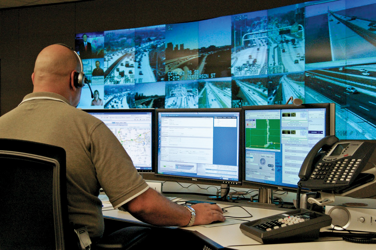
Also, imagine a large city with a sophisticated traffic management system that leverages AI and machine learning. During morning rush hour, the system predicts heavy traffic on main roads leading to the city centre. The system adjusts traffic signals to prioritise these routes and suggests alternative routes to drivers automatically. Real-time data from GPS probes and sensors can instantly detect accidents, predicting severe congestion and rerouting traffic through alternative routes while alerting emergency services.
The fusion of static and dynamic data, coupled with advanced analytics and technology, is revolutionising traffic management in cities. By harnessing the power of big data and cutting-edge technologies, cities and road authorities pave the way for safer, more efficient, and smarter road networks.


