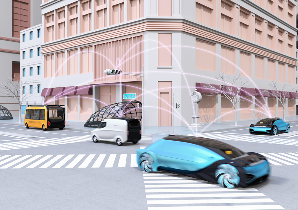
We are entering a new era in traffic control, enabled by emergent technologies that can sense geo-positional information and other useful attributes of the roadway users. In our prior era spanning more than 50 years, inductive roadway loops and other sources of zone presence detection have formed the primary basis of input to our traffic control methodologies. ITS standards for traffic control equipment, NTCIP standards for traffic control software, and ITE’s traffic engineering formulations for signal timing were all designed around the real-time measurement of roadway users via zone presence inputs.
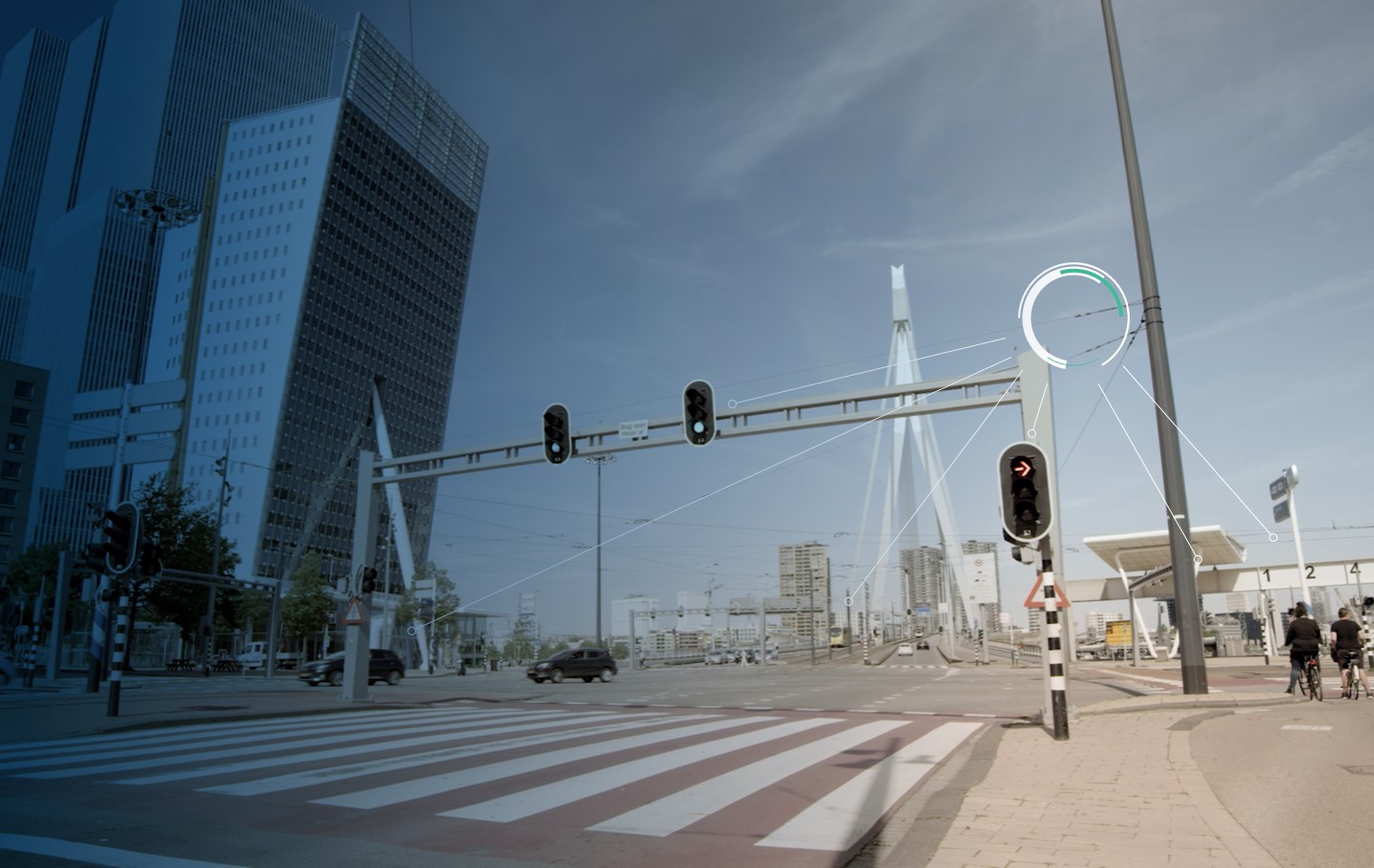
Infrastructure owner operators (IOO) now can deploy new roadway sensors that provide significantly greater datasets, enabling them to apply new traffic control principles to safely and efficiently guide the movements of travellers. Sensors are emerging that can detect and classify vehicles, cyclists, pedestrians, and other roadway users, including their geospatial trajectories in real time. These data sources are enabling detection of real-time safety conflicts, including near-miss events, red-light running, excessive vehicle queueing, and many other critical events that could be used as inputs to real-time intersection control.
These datasets offer a powerful new set of inputs that will revolutionise our traffic control methods. However, the advancement of these new roadway sensing capabilities has outpaced ITS’s ability to standardise the use of this data. Since zone presence detection is a foundational element that spans nearly all ITS device standards and traffic engineering practices, the ingestion and application of these technologies will impact the entire ITS ecosystem. There is a growing gap between the technological state of what’s possible with these new technologies and the capabilities of legacy ITS systems to apply this information. This gap is leading to increased proliferation of proprietary data and control systems.
Responsibilities of IOOs
IOOs carry the ultimate stewardship of our signalised roadway network, a system that sees more than 6,000 intersection fatalities each year. As an industry, we must first ‘do no harm’ and carefully study the impact of changing our data inputs and resultant control methods via the peer-reviewed study of these new data sources, as well as the control algorithms they enable.
Assuming we share the foundational goals to increase roadway safety, efficiency and equitable access, how can we accelerate the promotion of these advanced technologies without regressing our 50+ years of safety research, or circumventing the very esoteric domain knowledge and critical stewardship in the hands of the IOOs? Similarly, how can we gain the immediate benefits of these technologies in parallel with the many years it will take for our industry to characterise, standardise and validate these new data sources, as well as the time it will take to modify the existing standards within ITS to apply their capabilities?
Mitigating proprietary solution risk
In the absence of the ITS community coming together to address these questions, we would risk proliferating a disparate, proprietary, and/or privatised ecosystem of ITS capabilities. This could result in a second wave of proprietary system dependence within our National ITS Architecture.1 The first wave occurred during the PC revolution of the 1980s and 1990s that enabled the proliferation of ATMS systems using proprietary device communication protocols over dial-up modems. Those deployments enabled an immediate capability for many agencies to have centralised device management but later constrained these agencies with proprietary data interfaces. Our shared efforts toward NTCIP standardisation in the late 1990s rescued our National ITS Architecture from this proprietary binding. Our industry must remember that lesson learned as we begin to see a new emergence of exciting new ITS capabilities, without us having developed the underlying standards and policies to apply these technologies consistent to our National ITS Architecture.
At a more technical level, a solution to this problem is not to hurry up and modify the 50-year establishment of ITS standards and traffic engineering practices to accept the vast set of emergent data sources, but rather for us to create a standardised software platform where these non-standardised data sources can be received, normalised, and applied onto a shared roadway model. This modelling is necessary to transform sensor-specific data into a standardisable data taxonomy and geospatially-referenced format. Each sensor and data source can offer its data toward this common fusion point via proprietary interfaces, so long as there is a transformative software layer that can apply proprietary data into a common model. The end goal we seek is to create a ‘cooperative perception’ that generates the most accurately measurable real-time representation or ‘digital twin’ of the roadway. A nationally-shared roadway model is crucial so that this input data can be studied and accepted in collaboration across the various ITS stakeholders, to then be applied to many downstream applications in a consistent and trustworthy format.
Cabinet-edge computing
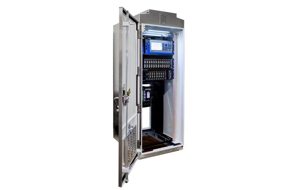
When it comes to the real-time safety potential offered by these new data sources, a processing locale has been proposed at the ‘cabinet edge’. This refers to placing dedicated compute platforms in the traffic management cabinet that can aggregate sensor data, model it against a geospatial roadway model, and serve the resultant information to traffic control applications, whether they be hosted in the cloud, at the traffic management centre or inside the roadside traffic cabinets. This architecture offers the unique benefit of near real-time control, given its very low latency of data exchange between sensors and control platforms. Without reliance on the internet or other backhaul connectivity, this solution also offers high reliability for safety-critical applications. The key challenge to this approach is that currently there are not standardised edge-compute platforms for traffic control applications - nor are there standardised models or protocols (APIs) to facilitate the exchange of these rich sensor datasets between applications.
Open source as solution
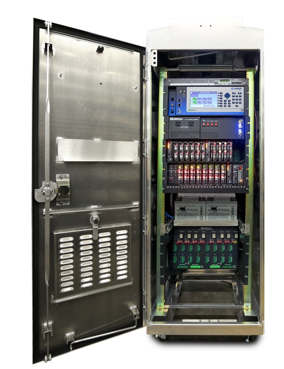
and control platforms
The Federal Highway Administration (FHWA) sees this need and is promoting open-source software platforms as an alternative means to rapidly develop the needed device interfaces, data taxonomies, and fused roadway models in an extensible and collaborative manner. The CARMA Program has been established as an ecosystem of open-source data exchanges and roadway modelling solutions spanning both the cloud and roadside cabinet.2 Open-source software offers a great means for innovators to rapidly deploy their technologies in a collaborative and peer-reviewable process via a common framework, without being encumbered by legacy interfaces or a highly involved standards design process. These open-source data exchanges will be the key proving ground of new devices, offer de facto standardisation, and will prepare a pathway for ITS standardisation to follow. Collectively, the ITS industry should support these collaborative open-source efforts as the critical solution to promote an open architecture for these emergent technologies.
ITS edge-computing future
So, what guidance do we have for IOOs who seek to gain the benefits of these new sensing technologies today? Given the urgency behind our shared goal of Vision Zero, we should leverage the benefits of these new technologies as rapidly as possible and not await the broad adoption of open-source, cabinet-edge compute platforms. A benefit of these open-source platforms is that we can gain proprietary benefits from these sensors now, and retroactively develop device interfaces that extract the raw data from them in their proprietary formats, fusing their available information onto these roadway models.
What guidance do we have for technology companies who seek to deploy the capabilities of their sensors and systems without having to await the standardised interfaces that can ingest their data? We recommend they design their data APIs with the expectation that we will eventually seek to transform and fuse the data available from each device via a stochastic roadway model that fuses multiple sources. If their data can be presented including the spatial variances and confidence of the datasets, it will greatly facilitate the fusion of these sources.
 FHWA, IOOs, the academic community and the ecosystem of vendors are incredibly excited about the capabilities of these emergent sensors and welcome the newcomers into ITS. We look forward to an open collaboration at the cabinet edge of these new technologies alongside our existent infrastructure to achieve our shared goals for safe, efficient and equitable mobility for all roadway users.
ABOUT THE AUTHOR:
Eric Raamot is chief technology officer at Econolite


