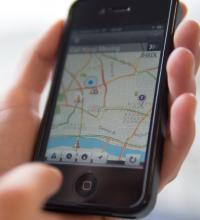
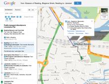
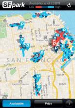
Parking.Brussels (P.B) has launched a new app to help guide motorists to car parks by integrating data into existing route planning applications such as Google Maps, Apple Maps and Waze. Users in the region can also utilise a custom parking option for requirements such as charging stations for electric vehicles, bicycle parking or proximity to public transport. The application contains over 24,000 parking spaces, spread over 58 parking lots and can indicate whether certain car parks are free or full. Users
The application contains over 24,000 parking spaces, spread over 58 parking lots and can indicate whether certain car parks are free or full.
Users can also save their favourite parking location and search by address or via geolocation.
P.B plans to integrate more car parks into its system in the future.


