That’s not the case at Colarodo DOT.
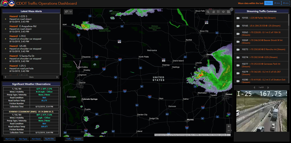
Thanks to a partnership with Esri, CDOT now has a system, underpinned by the Esri ArcGIS solution, that facilitates information from many sources and providers to be brought together seamlessly in a single place.
The resultant, tightly integrated and extremely rich information source can then be accessed and viewed simply and quickly via common browsers and applications. These offer unprecedented levels of detail.
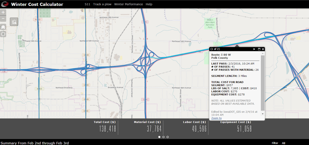
For instance, this innovative development gives CDOT not only a state-wide view, but one that drills down into individual incidents, or helps them more effectively manage traffic and snow removal during winter conditions. In addition to the weather and road condition data, CDOT can see the location of every individual snow plough in real-time; understand if they have their blades up or down; how much material they are currently spreading; all delivered to the comprehensive operational dashboard.
Individuals with the appropriate permissions can draw upon, use, add to or otherwise influence information from right across an organisation - not just that generated or owned by their own departments. The consequent removal of institutional barriers results in across-the-board performance improvements and significant operational savings.
Additionally, business decisions over when and where to invest in infrastructure maintenance and improvement can now be led by the head and not the gut.
ITS International ran a full feature on the development and results of the partnership between CDOT and Esri which can be read at this link.


