With Galileo’s early services scheduled to start next year, Fiammetta Diani is enthusiastic about the opportunities the EU’s GNSS system will offer. Next year will be a very exciting one for Galileo, the EU’s fledgling satellite constellation; additional satellites are scheduled for launch and, as European Commission Vice President Tajani recently announced, early operational services will be starting towards the end of 2014. So it really is ‘all systems go’ as Fiammetta Diani, market development officer in

Fiammetta Diani
With Galileo’s early services scheduled to start next year, Fiammetta Diani is enthusiastic about the opportunities the EU’s GNSS system will offer.
Next year will be a very exciting one for Galileo, the EU’s fledgling satellite constellation; additional satellites are scheduled for launch and, as1690 European Commission Vice President Tajani recently announced, early operational services will be starting towards the end of 2014. So it really is ‘all systems go’ as Fiammetta Diani, market development officer in charge of Road/ITS at the 5810 European GNSS Agency, explains.
“Four satellites are already in the sky and the remaining ones up to a total of 26 have already been contracted and are in production. They will be placed in 3 orbital planes in Medium Earth Orbit at 23,000 km above the Earth. We will be launching them two at a time using Soyuz and the European Ariane rockets will carry four at a time, accelerating the deployment.
“Galileo was conceived as being interoperable with America’s GPS satellites so it is very easy at the level of the receiver and the application to use Galileo in addition to GPS. What this means is that you have more satellites in visibility and better availability of signal, especially in the urban environment where tall buildings can block the signals and at high latitudes where currently you might not get enough satellites to give you accurate positioning. These benefits will already be available at Early Services towards the end of 2014, because using Galileo satellites in addition to GPS, you improve the performance.
“Our system will transmit the free-to-use open service signal on two different civil frequencies and will permit to have more robust and accurate position than what can be made now We have already demonstrated that we can determine a moving vehicle’s location to metre-level and this will get even better when we have the full constellation,” she says, adding: “The payload in the Galileo satellites is based on the latest technology atomic clocks and the constellation is conceived to be state-of-the-art. Many companies and research institutes have already done tests with the current four available satellites and found the signal is very good.”
This is an important facet of Galileo and one the industry has noticed because, according to the European GNSS Agency’s latest GNSS market report (published in October 2013, available at www.gsa.europa.eu), multi constellation receivers are becoming commonplace. Already more than 30% of receivers on the market can detect and use fledgling constellation. The report predicts two major markets: location based services which will account for 47% of GNSS revenue – just ahead of road services at 46.2%. Location based services include mobile data and personal tracking (for fitness training) delivered via smart phones, tablets, laptops and digital cameras. In the road related sector are aftermarket satnavs and in-vehicle systems for navigation, road charging, pay per use insurance, eCall, advanced driver assistance systems (ADAS) and other ITS systems. smart phones used for driver navigation are classified by the report as location based services
Diani is quick to point out that smart phones are increasingly being used for road-related services: “If you take the navigation, congestion mapping and bus times into account, services relating to the road will constitute the biggest sector for Galileo. Navigation will be a big part of this but it will also include tolling, eCall and tracking and tracing.”
Although smart phones will play a big part in the future of GNSS and the ITS industry, Diani says there will still be need for in-vehicle systems and the GNSS market report forecasts a clear growing trend. “There will always be services that benefit from high performance GNSS, particularly if you think of ADAS and other safety critical applications. These will benefit from having an embedded device because you can assure the quality of the positioning device while more consumer orientated services can be used on the smart phone.”
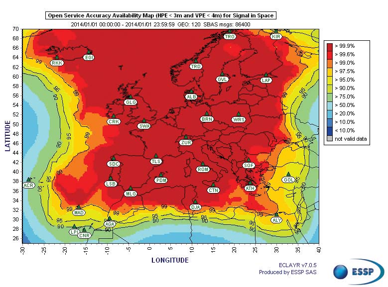
The1816 European Union is keen to utilise the benefits of Galileo’s GNSS services. An example is the European Commission legislation proposal for the introduction of eCall operation across the EU by October 2015. After that date all new type approved cars must be suitably equipped to access and use the eCall service and the request is that the systems shall be compatible with Galileo and the European geostationary navigational overlay service (EGNOS). The EGNOS system corrects typical GNSS errors such as the ionosphere distorting the signal and slight discrepancies between the clocks
EU regulators are also holding stakeholders’ workshops to finalise details of the introduction of smart digital tachographs for trucks and passenger service vehicles. Beyond recording driving time and speed, the new generation of tachographs which are expected to be required from 2018, will also relay GNSS-based location data.
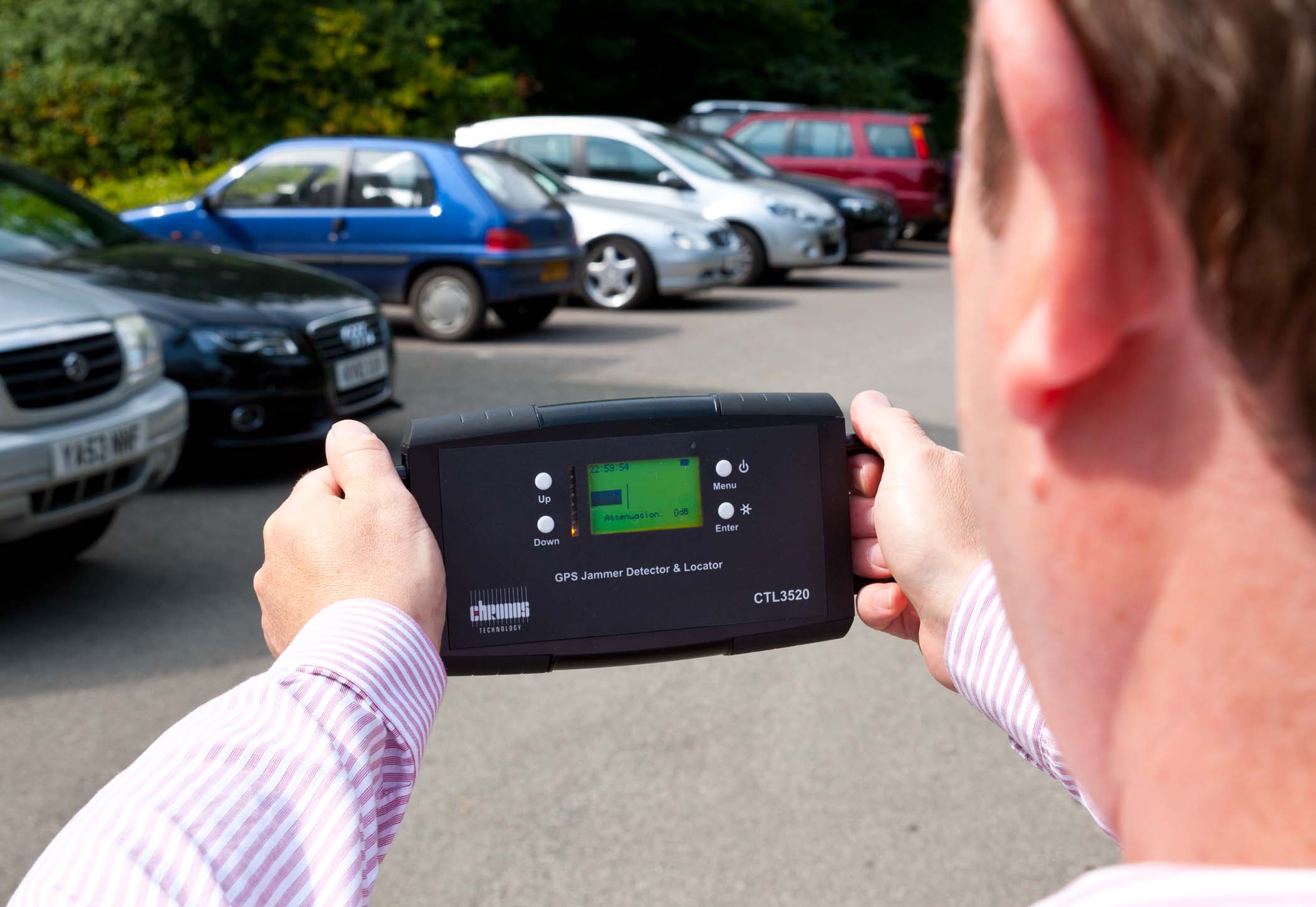
Says Diani: “We believe that Galileo will provide very accurate positioning data and we hope in the future to also give additional security of the positional data as Galileo will also deliver authentication services. This will allow a device to verify that the signal is genuine and has not been interfered with and we hope this future feature will be useful in applications like digital tachographs where there is a risk of manipulation and fraud.”
Perhaps more controversially, the EU legislators are considering intelligent speed adaptation systems that automatically prevent a vehicle exceeding the posted speed limit for the road. While such decisions are for the politicians, Diani says the combination of Galileo and EGNOS can provide the accuracy and security legislators would demand.
In regards to ADAS systems she says: “For ADAS you will need the best GNSS possible, and Galileo has benefits in terms of availability and accuracy. In addition you can use EGNOS that delivers information on the reliability of the data which is very important for ADAS systems.
“We have demonstrated that we can achieve very good lane level navigation based on Galileo’s GNSS alone without using external sources. A public demonstration has been made by the project COVEL, co-funded by the European Commission in the 7th Framework Program for Research and Development. Assuming the possibility to exchange of data via V2V systems, it is possible to determine the relative positions of the vehicle and others around it. The ADAS system can then use this information to determine if intervention is necessary. For this reason we believe precise and robust GNSS will remain an important building block for ADAS services, complementing the other sensors on board the vehicle.”
Because such systems require the highest levels of speed and accuracy, Diani believes an embedded device is imperative as those in smart phones would not be suitable for this kind of application.
More immediately, she highlights France’s GNSS-based ECO-tax on trucks and predicts GNSS will the future of tolling in Europe, while swiftly adding that such decisions are for the politicians to take and not the engineers. What makes her so certain?
“Different countries are implementing different systems and France is one of the countries implementing a system based on GNSS. EETS, the European electronic tolling system is another opportunity for GNSS tolling. We see GNSS as the future of tolling in Europe as we see more and more countries are choosing GNSS at least for the trucks and we see a move towards flexible tolling which can be extended or reduced depending on the real congestion and traffic situation. We think GNSS is the answer for this.”
Certainly she sees no technical reason why GNSS tolling could not be extended across Europe and it would have the added benefit of removing any incentive for drivers to abandon tolled highways to use free access roads through towns and villages. But again this would be a political decision and probably one for the government of individual Member States rather than EU wide.
“From space Galileo can provide the technology for many ITS systems but on the ground it is for the politicians to make these things happen.”
Next year will be a very exciting one for Galileo, the EU’s fledgling satellite constellation; additional satellites are scheduled for launch and, as
“Four satellites are already in the sky and the remaining ones up to a total of 26 have already been contracted and are in production. They will be placed in 3 orbital planes in Medium Earth Orbit at 23,000 km above the Earth. We will be launching them two at a time using Soyuz and the European Ariane rockets will carry four at a time, accelerating the deployment.
“Galileo was conceived as being interoperable with America’s GPS satellites so it is very easy at the level of the receiver and the application to use Galileo in addition to GPS. What this means is that you have more satellites in visibility and better availability of signal, especially in the urban environment where tall buildings can block the signals and at high latitudes where currently you might not get enough satellites to give you accurate positioning. These benefits will already be available at Early Services towards the end of 2014, because using Galileo satellites in addition to GPS, you improve the performance.
“Our system will transmit the free-to-use open service signal on two different civil frequencies and will permit to have more robust and accurate position than what can be made now We have already demonstrated that we can determine a moving vehicle’s location to metre-level and this will get even better when we have the full constellation,” she says, adding: “The payload in the Galileo satellites is based on the latest technology atomic clocks and the constellation is conceived to be state-of-the-art. Many companies and research institutes have already done tests with the current four available satellites and found the signal is very good.”
This is an important facet of Galileo and one the industry has noticed because, according to the European GNSS Agency’s latest GNSS market report (published in October 2013, available at www.gsa.europa.eu), multi constellation receivers are becoming commonplace. Already more than 30% of receivers on the market can detect and use fledgling constellation. The report predicts two major markets: location based services which will account for 47% of GNSS revenue – just ahead of road services at 46.2%. Location based services include mobile data and personal tracking (for fitness training) delivered via smart phones, tablets, laptops and digital cameras. In the road related sector are aftermarket satnavs and in-vehicle systems for navigation, road charging, pay per use insurance, eCall, advanced driver assistance systems (ADAS) and other ITS systems. smart phones used for driver navigation are classified by the report as location based services
Diani is quick to point out that smart phones are increasingly being used for road-related services: “If you take the navigation, congestion mapping and bus times into account, services relating to the road will constitute the biggest sector for Galileo. Navigation will be a big part of this but it will also include tolling, eCall and tracking and tracing.”
Although smart phones will play a big part in the future of GNSS and the ITS industry, Diani says there will still be need for in-vehicle systems and the GNSS market report forecasts a clear growing trend. “There will always be services that benefit from high performance GNSS, particularly if you think of ADAS and other safety critical applications. These will benefit from having an embedded device because you can assure the quality of the positioning device while more consumer orientated services can be used on the smart phone.”
The
EU regulators are also holding stakeholders’ workshops to finalise details of the introduction of smart digital tachographs for trucks and passenger service vehicles. Beyond recording driving time and speed, the new generation of tachographs which are expected to be required from 2018, will also relay GNSS-based location data.
Says Diani: “We believe that Galileo will provide very accurate positioning data and we hope in the future to also give additional security of the positional data as Galileo will also deliver authentication services. This will allow a device to verify that the signal is genuine and has not been interfered with and we hope this future feature will be useful in applications like digital tachographs where there is a risk of manipulation and fraud.”
Perhaps more controversially, the EU legislators are considering intelligent speed adaptation systems that automatically prevent a vehicle exceeding the posted speed limit for the road. While such decisions are for the politicians, Diani says the combination of Galileo and EGNOS can provide the accuracy and security legislators would demand.
In regards to ADAS systems she says: “For ADAS you will need the best GNSS possible, and Galileo has benefits in terms of availability and accuracy. In addition you can use EGNOS that delivers information on the reliability of the data which is very important for ADAS systems.
“We have demonstrated that we can achieve very good lane level navigation based on Galileo’s GNSS alone without using external sources. A public demonstration has been made by the project COVEL, co-funded by the European Commission in the 7th Framework Program for Research and Development. Assuming the possibility to exchange of data via V2V systems, it is possible to determine the relative positions of the vehicle and others around it. The ADAS system can then use this information to determine if intervention is necessary. For this reason we believe precise and robust GNSS will remain an important building block for ADAS services, complementing the other sensors on board the vehicle.”
Because such systems require the highest levels of speed and accuracy, Diani believes an embedded device is imperative as those in smart phones would not be suitable for this kind of application.
More immediately, she highlights France’s GNSS-based ECO-tax on trucks and predicts GNSS will the future of tolling in Europe, while swiftly adding that such decisions are for the politicians to take and not the engineers. What makes her so certain?
“Different countries are implementing different systems and France is one of the countries implementing a system based on GNSS. EETS, the European electronic tolling system is another opportunity for GNSS tolling. We see GNSS as the future of tolling in Europe as we see more and more countries are choosing GNSS at least for the trucks and we see a move towards flexible tolling which can be extended or reduced depending on the real congestion and traffic situation. We think GNSS is the answer for this.”
Certainly she sees no technical reason why GNSS tolling could not be extended across Europe and it would have the added benefit of removing any incentive for drivers to abandon tolled highways to use free access roads through towns and villages. But again this would be a political decision and probably one for the government of individual Member States rather than EU wide.
“From space Galileo can provide the technology for many ITS systems but on the ground it is for the politicians to make these things happen.”


