The UK Government has been advised by an internal inquiry that it should investigate examples of best practice in travel information services. So where might it look? Jon Masters reports. Publication of a UK Government report on road congestion this year has highlighted a need to look beyond home borders when searching out answers to pressing problems. With regard to issues of travel information in particular, UK transport professionals would do well to look overseas for solutions they can emulate.

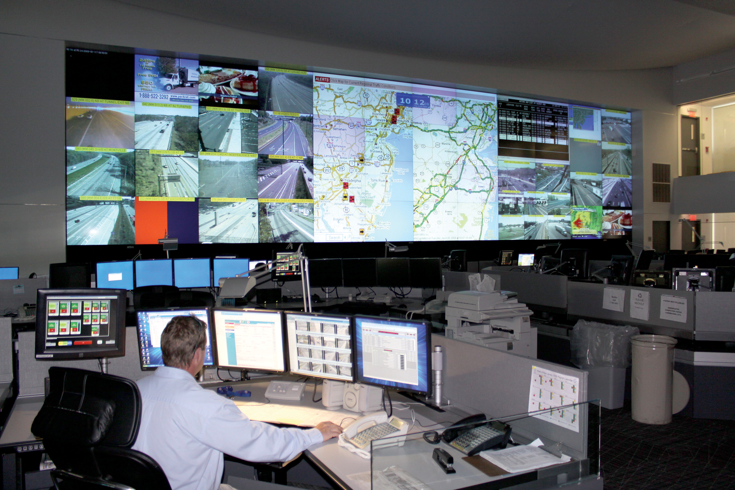
Traffic operations centres throughout the I-95 corridor are sharing Inrix floating car data, including the New Jersey statewide centre
The UK Government has been advised by an internal inquiry that it should investigate examples of best practice in travel information services. So where might it look? Jon Masters reports
Publication of a UK Government report on road congestion this year has highlighted a need to look beyond home borders when searching out answers to pressing problems. With regard to issues of travel information in particular, UK transport professionals would do well to look overseas for solutions they can emulate.
The UK's Transport Select Committee (TSC) - consisting of Members of Parliament with an interest in transportation - reported in September on how congestion can be reduced by better traffic management, after hearing evidence from Government transport ministers and a wide range of industry professionals. Matters relating to provision of travel information feature prominently in the report's findings, but with no mention of how other countries are tackling the same problems.
The report is called 'Out of the jam: reducing congestion on our roads'.
To paraphrase one of its key recommendations: 'The
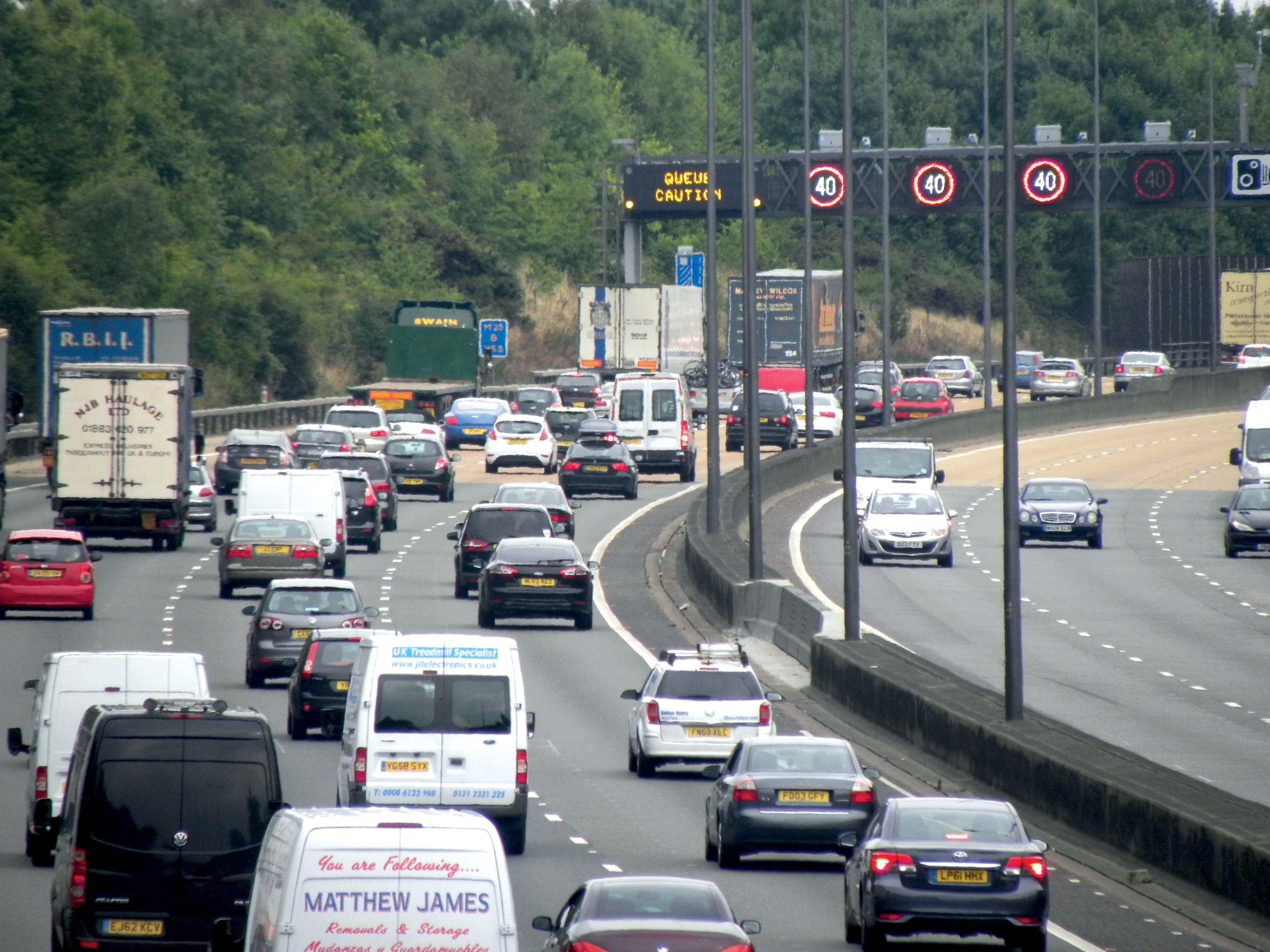
As Out of the jam reveals, it is a lack of information on traffic conditions on the other 96% of its roads that the UK suffers, so offering scant opportunity for drivers to plan their journeys and routes accordingly. Furthermore, there is inadequate coordination between highway authorities, minimal work in partnership with the private sector for gathering and communicating travel information, and too little public use of what is provided.
Best practice
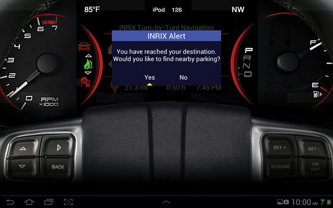
So where should UK authorities look for examples of best practice? To Japan perhaps, where that country's Vehicle Information & Communication System (VICS) continues to develop. Launched in Tokyo in 1996 at a cost of 1.9Bn Yen ($19M), VICS has undergone numerous upgrades and expansions since. It now applies nationwide, giving congestion, road restriction, incident and parking information via radio wave and infrared beacons and FM radio, to in-car satellite navigation systems.Japan surpassed 30 million sales of VICS enabled sat nav systems this year - a figure which gives ridicule to British transport minister Mike Penning's statement to the TSC, that travel information technology "is very difficult to put into a car". Moreover, the latest VICS development, the 'cooperative vehicle infrastructure' ITS Spot service, was launched earlier this year. This is providing high speed, high volume two way communications for electronic toll collection, navigation and dynamic route guidance on 1,000km of Japanese expressways via 5.8GHz DSRC technology.
Realistically, VICS and its ITS Spot incarnation are beyond what is likely in the UK, in the current political climate at least while the British Government continues its programme of public spending cuts, allied to policy determined to devolve responsibilities to local authorities. The centrally driven public/private sector partnership that made Japan's travel information system happen - the VICS governing body has consistently had heads of Japanese automotive and technology industries as its Chairmen - is unlikely to be replicated in Britain.
Biting into costs
Travel information efforts in countries more closely matched politically and culturally would seem more applicable to the UK. Costs are a critical factor for local highway authorities. But in France and the United States, pilot projects are usingThis is according to
"One Bluetooth sensor is needed generally at each junction or intersection for ITTS. This represents a comparatively minor investment at about a tenth of the cost of other equipment such as number plate recognition cameras or induction loops," says Alcatel-Lucent director of product management Angel Torres.
Each sensor is housed in a "roughly shoebox sized" standard IP66 enclosure, says Torres. Signals are picked up and communicated to central traffic control centres from vehicles with Bluetooth enabled equipment, mobile phones and other personal devices. "We need to receive signals from 5% of traffic by volume to get 90% accuracy on travel speed and direction," Torres says.
Processing power
It is data analysis and algorithms developed by Bell Labs that give the ITTS system its power. According to Torres, ITTS takes data and turns it into useable information for transport authorities. It can be used either as a stand-alone technology or integrated into advanced traffic management systems, as a 'bolt on' asset."There is a number of studies out there on the causes of congestion and the ability of good travel information and rerouting to alleviate it," Torres adds. "An investment of $1.2Bn in ITS technology has been found to bring $30Bn of safety, mobility and environmental benefits. ITTS is an affordable and scaleable solution. In Orlando, we are working with the city on a trial that is about to be expanded. So far it has helped relieve congestion on highways in the area surrounding a basketball stadium with route planning in real time." Orlando is also one of 10 states now involved in the I-95 Corridor Coalition project, which stands as a demonstration of what a new UK travel information strategy might look like; involving highway authorities working collaboratively and in partnership with the private sector to improve traffic management and travel information services at less cost.
Again, the crucial technologies are in the collection and analysis of data, this time by
Expanding partnership
"Originally, our involvement via the VPP was for filling gaps in the I-95 partners' existing physical road sensor network.The project has expanded out from there," says Inrix director of community relations Jim Bak. The I-95 Corridor initiative is still one mostly concerning management of data, but its size and scope has developed considerably since the VPP kicked off in 2008.
States and government transport agencies along the I-95 interstate corridor, from Maine in the north down to Florida, are getting access to an enormous amount of historical and live information on traffic speed, flow and congestion.
According to Inrix, traffic information is now being collected and analysed from over two million connected vehicles and devices every day along the I-95 corridor.
The coalition partners are using it in a variety of ways - detailed congestion analysis for highway planning, traffic operations and travel information services among others. Crucially, the data is collected, analysed and supplied consistently and is made available to all; the project is overseen by a central coalition executive committee with the University of Maryland carrying out data validation and performance checks. For individual states the costs are estimated to be around a quarter of what it would cost to get the same penetration of monitoring and quantity of traffic information from expansion of conventional sensor networks.
Greater use of data
"Powerful things can now be done with analysis of crowdsourced data and very clever software. This is what does the heavy lifting in the I-95 Corridor VPP project; analytics that learn as more information is collected. As a result we are seeing far greater utility coming from the data," says Jim Bak. "We have been able to give transport departments crossstate views where before they were unable to see what was going on across their borders. And we have found them very interested in use of the data for providing better information services via websites and message signs, at a fraction of the cost of expanding sensor networks." The I-95 Corridor project is indicative of a growing trend in travel information services: A proliferation of GPS enabled smartphones is boosting quantities of 'floating car data' available for analysis in aggregation with other sources of information (see page 51).For Inrix, analysis 'intelligence' it has developed in recent times has allowed the company to introduce a new Inrix Analytics service for transport agencies.
Other firms -
In the UK, the barriers to wider uptake are mostly down to institutional issues and a lack of awareness of what is available.
This is according to ITS (UK)'s head of professional services Neal Skelton. "Cross boundary relationships between authorities are a problem," Skelton says. "Some engage better than others and while some have a good understanding of ITS technology, others do not. There is an awful lot of ignorance out there."


